Rainbow Hot Springs
Near Pagosa Springs, Colorado, United States
Riverside hot pools about 5 miles up the West Fork of the San Juan River in the Weminuche Wilderness, reached by a long, exposed hike through the 2013 West Fork Fire burn scar.
Temporarily closed. October 2025 floods damaged West Fork Road (FS 648), the West Fork Bridge and the West Fork Trail. A Forest Service order closed the road and bridge, and the local trails group reported the trail impassable in May 2026. We found no notice that the closure has been lifted.
- Water temperature
- Not published
- Entry
- Free
- Getting in
- Long hike
- Type
- Wild & natural
- The main pool sits right beside the West Fork of the San Juan River and fits roughly 8 to 10 people.
- About 5 miles one way with roughly 1,000 feet of climbing, mostly through open burn scar with little shade.
- Camping near the springs is limited to designated sites, at least 100 feet from water.
- Flood damage from October 2025 closed the access road, a bridge and the trail. Check status before planning a trip.
Current status: closed by flood damage
Before anything else: Rainbow Hot Springs is effectively out of reach right now. Heavy flooding in the San Juan Mountains in October 2025 hit the West Fork of the San Juan River hard. The Forest Service issued an order dated October 24, 2025, closing the West Fork Bridge and part of Forest Road 648 (West Fork Road), which is the only road to the trailhead. A trail update from the Pagosa Springs trails group in May 2026 said the West Fork Trail had washed out in places, bridges included, and asked hikers to stay off it until repairs are done because the river was still running high.
We could not find any notice that the order has been lifted. Recreation.gov’s page for West Fork Campground also notes that the floods moved the river channel away from sites that used to sit beside it. Call the Pagosa Ranger District (970-264-2268) for the current picture before you plan anything. The rest of this guide describes the spring and the hike as they were before the floods, so expect changes on the ground when it reopens.
What to expect
Rainbow Hot Springs is a set of small, rock-lined pools on the bank of the West Fork of the San Juan River, deep in the Weminuche Wilderness, Colorado’s largest wilderness area. There is nothing built here. Hot water comes up beside the river, and visitors have stacked stones to hold it in pools.
The main pool is the one people hike for. It sits at the bottom of a steep slope right by the river and fits around eight to 10 people. Smaller pools nearby are walled off by rocks, and moving a few stones changes how much cold river water mixes in. One local writer put the main pool in the upper 90s°F, with a soft, silty bottom of fine sediment. A common routine is to soak, then lie in the cold river, then soak again.
The setting is rugged rather than pretty in a postcard way. The 2013 West Fork Fire, part of a complex of lightning fires that burned about 108,000 acres of beetle-killed spruce, swept through this valley. Much of the trail now runs through standing dead timber and open slopes, and downed trees are a recurring problem.
Getting there
The trailhead is northeast of Pagosa Springs off US Highway 160, on the way up Wolf Creek Pass.
- From Pagosa Springs: Drive east on US 160 for about 13 to 15 miles (sources differ slightly) and turn left onto West Fork Road, Forest Road 648. Pass West Fork Campground and continue to the end of the road, about a mile beyond the campground, where there is a small trailhead lot.
- From the San Luis Valley: Come west on US 160 through South Fork and over Wolf Creek Pass, then look for West Fork Road on the right after you descend.
The dirt road does not normally need four-wheel drive, but heavy rain turns it muddy. The trailhead has restrooms and no drinking water.
From the lot, West Fork Trail No. 561 starts on a private road past cabins and a large ranch. Roughly the first mile crosses private land on a trail easement, so stay on the trail and leave gates as you find them. The trail enters the Weminuche Wilderness about 1.5 miles in. Around mile 3 there is a bridge over the West Fork and a flat spot that works for a break. Around mile 5, several very steep side paths drop to the left down to the river and the springs. Take them slowly.
Expect about 5 miles each way with around 1,000 feet of gain on the way in. Older accounts say 6 miles, and the Wikipedia list of Colorado springs gives 7, so give yourself margin. The trail is exposed, with little shade, and hot on a July afternoon.
When to go
Timing matters more here than at most springs. In late spring and early summer, snowmelt raises the West Fork so high that it washes over the pools and makes any wading dangerous. A backpacker’s death during spring runoff is the reason bridges were built on the route in the first place.
In a normal year, the usable window is from about mid-July to early October. Summer weekends are crowded: one August visit described a small tent city of campers and dogs around the springs, and a mid-August weekday still drew about 20 people. Weekdays after Labor Day are quieter. In winter the trail is hard to follow under snow and the trip becomes a serious undertaking.
Rules and etiquette
This is designated wilderness, so the rules are stricter than at a roadside spring:
- Foot and horse travel only. No bikes or motor vehicles past the wilderness boundary.
- Camp only in designated sites. Camping near the springs is limited to existing sites at least 100 feet from water. They are first come, first served.
- No soap or dishwashing in the pools. People have been seen bathing with soap and washing dishes in the springs, and in pools this small it fouls the water for everyone.
- Bury human waste properly, well away from the water and campsites, or pack it out. Reports of unburied waste are one of the main complaints about this spring.
- Clothing is optional in practice. Some people soak nude, and most visitors are respectful about it.
- Pack out all trash. There are no bins at the springs.
Where to stay nearby
- Designated backcountry sites beside the springs are the obvious choice for an overnight trip. Arrive early on summer weekends.
- West Fork Campground, near the start of FS 648 and a mile short of the trailhead, has reservable single-family sites with picnic tables, fire rings, vault toilets and drinking water. Book through Recreation.gov, and check its notices about flood changes.
- Pagosa Springs, about 15 miles southwest, has hotels, cabins and the commercial hot spring pools in town.
Safety notes
- River crossings and high water: Do not attempt the trip during spring runoff. With bridges damaged by the 2025 floods, any crossing may now be harder than older trip reports describe.
- Fallen trees: The burn scar keeps dropping dead timber. Avoid camping under standing dead trees and be careful on windy days.
- Steep side trails: The last drop to the springs is steep and loose, with sand and gravel sliding toward the river.
- Heat and sun: The trail has little shade. Carry plenty of water and a filter.
- Afternoon storms: Summer thunderstorms build quickly in the San Juans. Plan to be off exposed ground by early afternoon.
- Water quality: Do not drink the spring water or put your head under it.
- Remoteness: Do not count on cell service. Leave a trip plan with someone at home.
Nearby stops worth adding
If Rainbow is closed, or you want hot water without a 10-mile round trip, Pagosa Springs has several options: the Mother Spring area in town and Overlook Hot Springs Spa are both in downtown Pagosa. West of town, Piedra River Hot Springs is another undeveloped riverside soak with a shorter walk. Check each listing for current access.
Map and nearby springs
GPS: 37.51110, -106.94560
Rainbow Hot Springs: common questions
Is Rainbow Hot Springs open?
Not as of our last check. Floods in October 2025 damaged West Fork Road, the West Fork Bridge and sections of the West Fork Trail. The San Juan National Forest closed the road and bridge by order, and a May 2026 trail update said washed-out sections and lost bridges made the trail impassable. Call the Pagosa Ranger District at 970-264-2268 before you go.
How long is the hike to Rainbow Hot Springs?
Most local sources put it at about 5 miles each way on West Fork Trail No. 561, with around 1,000 feet of elevation gain on the way in (from about 8,300 to 9,344 feet). Some accounts say 6 miles, and the Wikipedia list of Colorado springs says 7, so plan for a full day or an overnight trip.
Can you camp at Rainbow Hot Springs?
Yes, but only in the existing designated sites near the springs, which must be at least 100 feet from water. They are first come, first served and fill on summer weekends. Many people make it an overnight backpacking trip rather than a 10-mile day hike.
How hot is Rainbow Hot Springs?
No official temperature is published. One Pagosa Springs writer described the main pool as somewhere in the upper 90s°F, and it varies because river water seeps into the rock-lined pools. In spring the river covers them entirely.
Is Rainbow Hot Springs clothing optional?
In practice, yes for some visitors. It is a remote wilderness spring with no rules on swimwear, and you may meet people soaking nude. Swimsuits are equally normal.
Closest hot springs to Rainbow Hot Springs
Near Creede
Wild & natural
Near Pagosa Springs
Resort or spa
104-105°F40-41°C
Wild & natural
Nathan's Hippy Dip Hot Spring
Colorado, United States
17 mi away, ~25 min drive
104-105°F40-41°C Free Drive-up
Near Pagosa Springs
Resort or spa
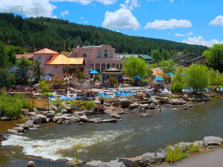
The Springs Resort, Pagosa Springs (Mother Spring)
Colorado, United States
17 mi away, ~25 min drive
101-112°F38-44°C Paid Drive-up
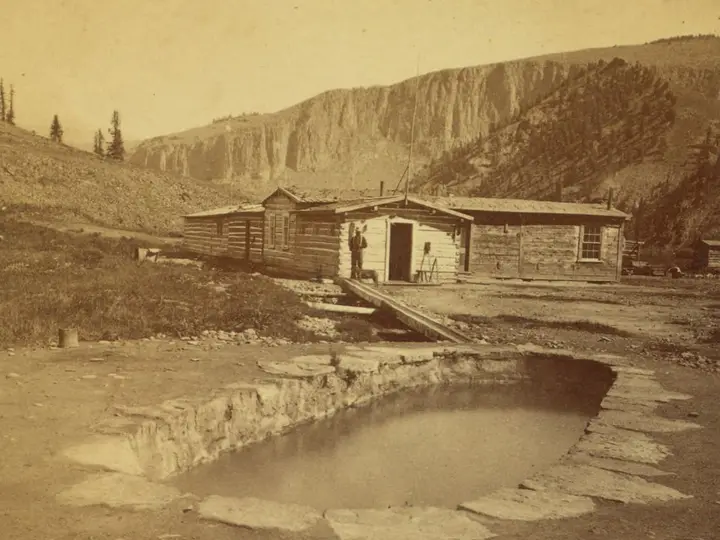
Wagon Wheel Gap Hot Springs (4UR Ranch)
Colorado, United States
18 mi away, ~25 min drive
Temp n/a Paid Drive-up
All hot springs in ColoradoAll hot springs in United StatesOpen the full map