San Francisco Hot Springs
Near Glenwood, New Mexico, United States
Undeveloped hot spring pools on the bank of the San Francisco River south of Glenwood, reached by a 1.3-mile Gila National Forest trail and a wade across the river.
- Water temperature
- Not published
- Entry
- Free
- Getting in
- Hike in
- Type
- Wild & natural
- The free trailhead is right off US 180, about 7 miles south of Glenwood.
- You have to wade the San Francisco River to reach the main pools on the far bank.
- Pools are built from river rock at the water's edge, so floods regularly rearrange or bury them.
- Part of the spring group sits on a private inholding. Soak only on the national forest side.
What to expect
San Francisco Hot Springs is a set of small, undeveloped pools along the San Francisco River in the Gila National Forest, a few miles south of Glenwood in western New Mexico. There is no bathhouse and no staff. Hot water comes up along the riverbank, and the soaking pools are simple rock-lined basins built right at the water’s edge.
That means the pools never look the same twice. A flood can wash them out or bury them in mud and sand, and the next group of soakers rebuilds them. Expect a couple of small pools, with temperatures that depend on how much cold river water is mixing in. When the river is high, the pools can be flooded and lukewarm. When it is low, they are hotter and easier to reach.
The setting is the main draw: a quiet river canyon in a corner of New Mexico a long way from any big town. The Forest Service describes the destination simply as an undeveloped hot spring.
Which springs are public? Several springs sit along this stretch of river. Federal land-status data shows the trailhead and most of the springs, including the one the USGS names Frisco Hot Springs, on national forest land. A private inholding covers part of the group a little upstream, around the point that some maps label San Francisco Hot Springs. Stay on the forest side and do not cross fences or posted boundaries.
Getting there
From Glenwood: Drive south on US 180 for about 7 miles. The trailhead is off Catron County Road C-025 on the west side of the highway, between mileposts 58 and 59. From Silver City, come north on US 180 and look for the same county road turnoff before you reach Glenwood.
The Forest Service lists parking as limited, with no restrooms and no drinking water. The trailhead sits at about 5,000 feet.
The trail: San Francisco Hot Springs Trail #250 runs about 1.3 miles from the trailhead to the river, according to OpenStreetMap. A trip report puts the round trip at about 2.9 miles with roughly 500 feet of net gain. Plan on 2 to 4 hours for the round trip with time to soak. The path is open to hikers, mountain bikes and horses. Carry plenty of water.
The crossing: Where the trail meets the river, the main springs are on the opposite (west) bank, slightly downstream. You have to wade. The depth and current change a lot with rain and spring snowmelt, from an easy ford to a crossing that is not safe. Water shoes and a walking pole help on the slick stones. If you cannot see the bottom or the current pushes hard against your legs, do not cross.
When to go
Fall, winter and early spring are usually the best months. The desert canyon is cool, the river tends to run low and clear, and the warm pools feel good. Winter days are often sunny at this elevation, but nights drop below freezing.
Late spring can bring snowmelt that raises the river and floods the pools.
Summer is hot on the exposed trail, and the July to September monsoon brings afternoon thunderstorms and flash floods. A storm upstream can raise the river quickly even under blue sky at the springs.
October 2026 flooding: heavy rain in early October 2026 flooded Whitewater Creek in the Glenwood area. The Forest Service closed part of the Whitewater Trail near the Catwalk under an Oct. 6, 2026 order and warned of water over the low crossing on the Catwalk Road, with more rain forecast. The San Francisco River trail was not part of that closure, but high water and storm damage to the pools are likely after a wet spell like this. Call the Glenwood Ranger District at (575) 539-2481 for current river conditions before you go.
Rules and etiquette
- No fee or pass is required. Commercial and organized groups need a Forest Service permit.
- Trailhead hours: overnight parking is allowed, but occupancy and use at the trailhead is dawn to dusk.
- Camping limit: Gila National Forest order 03-06-00-25-002 limits camping to 14 days in any 30-day period.
- Respect private land. Do not soak in or cross the private parcel upstream.
- Dogs must be leashed at the trailhead. Keep them out of the pools.
- Horses are allowed. Any hay or feed brought onto the Gila must be certified weed free.
- Clothing: we found no Gila National Forest order on nudity. The trail is popular and close to private land, so a swimsuit is the safer choice.
- Leave no trace. Pack out all trash, use no soap in the pools, and bury human waste well away from the river.
Where to stay nearby
- Bighorn Campground in Glenwood is a small Forest Service campground with about six sites, close to town.
- Glenwood RV Park, also in town, has about six sites.
- Cosmic Campground, north of Glenwood off US 180, is certified for dark skies and is known for stargazing.
- Ben Lilly Campground higher in the mountains is a cool summer option, but the Gila National Forest lists Ben Lilly and Willow Creek campgrounds as closed in October 2026.
- Dispersed camping is allowed in many parts of the Gila. Ask the Glenwood Ranger District which areas are open.
- Glenwood has a handful of small lodging options. Silver City, to the south, has the most lodging and services in the region.
Safety notes
- River crossing: This is the biggest hazard. Unbuckle your pack’s hip belt, face upstream, and cross where the river is wide and slow. Do not cross in high water.
- Flash floods: Watch the sky and the river. Leave the pools at once if the water starts rising or turning muddy.
- Water quality: River-edge pools mix with river water and can carry bacteria. Keep your head above water, and do not soak with open cuts.
- Heat and sun: The trail is exposed. Carry more water than you think you need, since there is none at the trailhead.
- Wildlife: Rattlesnakes are common in warm months. Watch where you put your hands on the rocks.
- Remoteness: Cell service is limited. Tell someone your plan.
Nearby stops worth adding
The Catwalk National Recreation Trail in Whitewater Canyon, just east of Glenwood, follows metal walkways and bridges over a creek on a 2.4-mile out-and-back walk. Check the current Forest Service alert first: part of the area was closed by flooding in October 2026. The old mining town of Mogollon sits up a steep, winding road north of Glenwood.
Map and nearby springs
GPS: 33.22838, -108.86716
San Francisco Hot Springs: common questions
How long is the hike to San Francisco Hot Springs?
Trail #250 is about 1.3 miles one way on OpenStreetMap, and most people describe a round trip of about 3 miles with roughly 500 feet of climbing over the ridges. The trail ends at the river, and the springs sit on the opposite bank.
Do you have to cross the river to reach San Francisco Hot Springs?
Yes, for the main pools. The usual route wades the San Francisco River to the springs on the west bank, a little downstream. The depth changes a lot with rain and snowmelt, so turn back if the current is strong.
Is San Francisco Hot Springs free?
Yes. The Forest Service lists no fee and no pass for the trailhead. Commercial and organized groups need a permit.
Can you camp at San Francisco Hot Springs?
Overnight parking is allowed at the trailhead, but the Forest Service lists occupancy and use there as dawn to dusk. Nearby options include Bighorn Campground and Glenwood RV Park in Glenwood. Gila National Forest limits camping to 14 days in any 30.
Is San Francisco Hot Springs on public land?
Mostly. The trailhead and most of the springs are on Gila National Forest land, but federal land-status maps show a private parcel covering part of the spring group upstream. Stay off it unless you have the owner's permission.
Closest hot springs to San Francisco Hot Springs
Near Gila
Wild & natural
90-94°F32-34°C
Wild & natural
101-104°F38-40°C
Resort or spa
Gila Hot Springs Campground
New Mexico, United States
38 mi away, ~60 min drive
101-104°F38-40°C Paid Drive-up
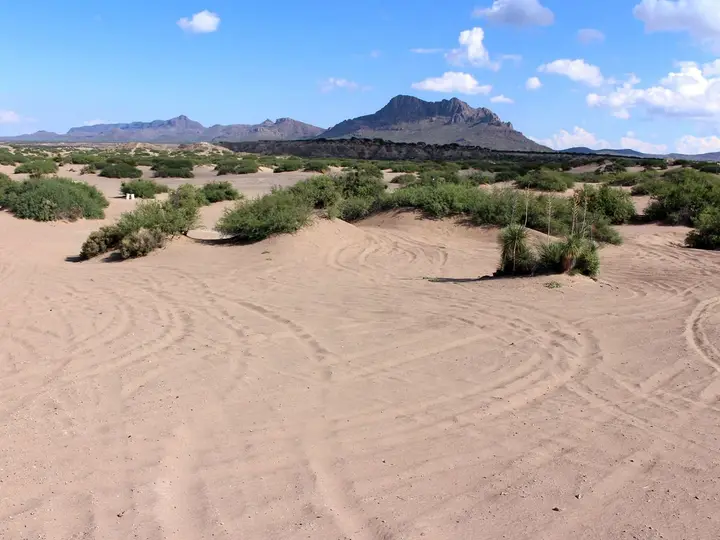
Hot Well Dunes Recreation Area
Arizona, United States
59 mi away, ~1.5 hr drive
106°F41°C Paid Drive-up
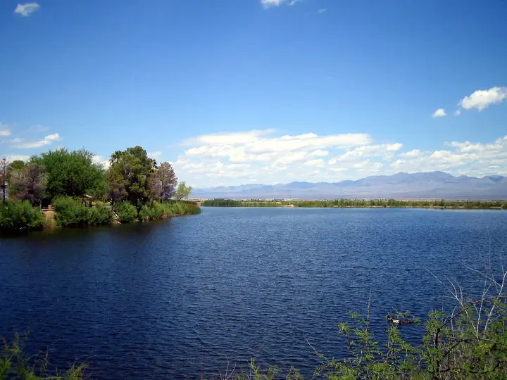
Roper Lake State Park Hot Spring
Arizona, United States
59 mi away, ~1.5 hr drive
Temp n/a Paid Drive-up
Near Safford
Resort or spa
All hot springs in New MexicoAll hot springs in United StatesOpen the full map
Sources we checked (5)
- fs.usda.gov/r03/gila/recreation/san-francisco-hot-springs-250-trailhead
- openstreetmap.org/way/220404373
- stavislost.com
- islands.com/2005792/between-tuscon-albuquerque-glenwood-new-mexico-canyon-town-mountain-springs-trails-camping
- fs.usda.gov/r03/gila/alerts/catwalk-recreation-area-temporary-closure-flooding