Little Caliente Hot Springs
Near Santa Barbara, California, United States
A set of small rock-and-mortar soaking pools in the Santa Ynez River backcountry north of Santa Barbara, normally reached by a long dirt-road drive and now only by foot, bike or horse.
Temporarily closed. Closed to vehicles. A Santa Barbara Ranger District storm-damage closure (September 16, 2026 to September 15, 2027) keeps storm-damaged roads, including Romero Camuesa Road, closed to motorized use. The springs can still be reached on foot, by bike or on horseback.
Photo: snapper from Ventura County, CA, USA (CC BY 2.0). Resized and cropped for this page.

- Water temperature
- 105-109°F41-43°C
- Entry
- Free
- Getting in
- Long hike
- Type
- Wild & natural
- Hot water spills from the spring into a top pool and steps down through cooler pools below it.
- Day use only, 6am to 10pm, with no fee and no camping at the springs.
- The roads in are adobe clay that turns slick and impassable when wet, and the Forest Service gates them before storms.
- Big Caliente Hot Springs, with its concrete tub, is about 2.7 miles away.
Current status
As of October 2026 you cannot drive to Little Caliente. The Los Padres National Forest has a special closure for storm damage in the Santa Barbara Ranger District, running from September 16, 2026 to September 15, 2027. It closes recreation sites, roads and trails damaged by storms, and restricts some roads to non-motorized use. Middle Santa Ynez Campground, which sits on the drive in, is listed as hike-in, bike-in or horse access only because of damage on Romero Camuesa Road. An earlier version of the same order, in 2025, named both Romero Camuesa Road (5N15) and Little Caliente Road (5N15B) as closed to motor vehicles.
The springs are not fenced off. You can still walk, ride a mountain bike or go on horseback, but it turns a short soak into a long backcountry day or an overnight trip. Check the Los Padres alerts page or call the Santa Barbara Ranger District at (805) 967-3481 before you plan anything, because these closures are reissued and changed often.
What to expect
Little Caliente is a small hot spring in the upper Santa Ynez River country, in the mountains behind Santa Barbara. The spring comes out of a hillside in open chaparral, and visitors have built a short chain of rock-and-mortar pools below it. Hot water drops into the top pool first, so it is the hottest, and each pool below it is cooler. Wooden benches and platforms sit next to the pools. There is little or no shade, so midday in summer is harsh.
Most reports describe three pools. A visitor who carried a thermometer in June 2021 measured about 110°F43°C where the water enters, then roughly 109°F43°C, 107°F and 105°F42°C and 41°C down the three pools. Treat that as one snapshot. The spring changes with the weather. After storms in December 2021 the two lower pools were full of debris and the top pool was only warm. In some wet winters, including early 2017 and 2018, visitors found weak, lukewarm or even cold flow. Shovels are sometimes left on site for clearing silt.
Its bigger neighbor, Big Caliente, is about 2.7 miles away and has a single larger concrete pool. The two are often visited on the same trip when the roads are open.
Getting there
Normal route (when roads are open): From Santa Barbara, take Highway 154 up to San Marcos Pass and turn east onto East Camino Cielo. Follow it along the ridge, then down the Romero Camuesa Road into the upper Santa Ynez valley toward Pendola Station. Top Hot Springs puts Pendola about 23 miles from Highway 154. From the Pendola area, the road continues west past P-Bar Flat, Middle Santa Ynez and Mono campgrounds to the Little Caliente turnoff, and a short spur and walk bring you to the pools. The drive from Santa Barbara usually takes a couple of hours.
The backcountry roads are mostly adobe clay. They are rutted when dry, and high-clearance or four-wheel-drive vehicles are recommended. When wet, the clay becomes dangerously slick, and the final steep section near Mono can take up to a week to dry out. The Forest Service closes the gates ahead of forecast rain, so the road can be shut even when there is no long-term closure in place.
During the closure: With motor vehicles banned, people reach the springs on foot, bike or horse along the closed roads and trails. One bikepacking group reported in 2021 that Little Caliente is about 6 miles by road beyond Pendola, and hikers also use the Cold Springs trail system that connects with the Mono area. These are long, hot, exposed routes with river crossings that can run deep after rain. Carry a map and plan it as a full day or an overnight trip.
When to go
Spring, after the roads have dried and before summer heat, is usually the best time, and late fall can be good too. Even then, any rain forecast can close the gates. Summer brings strong sun and heat on exposed roads with very little shade at the pools. In winter, storms both close the roads and can bury or cool the pools.
Weekdays are quieter. Volunteer visitors note that foot traffic rises on weekends.
Rules and etiquette
- Day use only, 6am to 10pm. There is no camping at Little Caliente or Big Caliente.
- No fee for day use. An Adventure Pass is needed only if you camp overnight at the Forest Service campgrounds nearby.
- Fire restrictions: Los Padres often limits campfires and stoves. Check current restrictions before you light anything.
- No soap in the pools. Rinse with water carried away from the springs.
- Pack out everything, including trash and toilet paper. There are no services at the springs.
- Share the pools. They are small, so rotate if others are waiting.
Where to stay nearby
Camping is the only option close to the springs, and none of it is at the pools. Mono Campground, about 1.5 to 2 miles away, has three walk-in sites on paper, but a volunteer visiting in February 2026 reported the camp was largely gone, with only a flat area where the parking lot used to be. Middle Santa Ynez has eleven primitive sites with tables and fire rings and is currently hike, bike or horse access only. P-Bar Flat is further east toward Pendola. All require an Adventure Pass and self-sufficiency.
For a bed, Santa Barbara is the nearest city, with plenty of hotels on the far side of the mountains.
Safety notes
- Water: Creeks in this area are often low or dry. Bring all the water you need, and treat anything you collect. Visitors have found blood worms in the pools in some seasons.
- Heat and sun: The roads and the pools are exposed. Carry sun protection and start early.
- River crossings: After storms, crossings near Mono have run nearly waist deep and fast. Turn back if the water is high.
- Mud and gates: If rain is forecast, leave early. Gates can be locked behind you, and wet clay roads are impassable.
- Hot water: The inflow can reach about 110°F43°C. Test each pool by hand and keep your head out of the water.
- Remoteness: Help is far away. Tell someone your route and when you expect to be back.
Map and nearby springs
GPS: 34.54041, -119.62034
Little Caliente Hot Springs: common questions
Is Little Caliente Hot Springs open?
The springs themselves are not closed, but you cannot drive there right now. A Santa Barbara Ranger District storm-damage closure that runs from September 16, 2026 to September 15, 2027 keeps damaged roads closed to motor vehicles, including Romero Camuesa Road. Hiking, biking and horseback travel are still allowed. Call the Santa Barbara Ranger District at (805) 967-3481 before you go.
How hot is Little Caliente?
There is no official temperature. A visitor who measured the pools in June 2021 found about 110°F43°C at the inflow and 105-109°F41-43°C across the three pools. Flows vary a lot: storms have filled the lower pools with debris, and in some wet years visitors found only lukewarm or cold water.
Do you need an Adventure Pass for Little Caliente?
Not for day use. Visiting the hot springs is free. An Adventure Pass is required if you camp overnight at nearby Forest Service campgrounds such as Mono or Middle Santa Ynez.
Can you camp at Little Caliente Hot Springs?
No. Both Little and Big Caliente are day use only, from 6am to 10pm. The closest camps are Mono Campground, about 1.5 to 2 miles away, and Middle Santa Ynez and P-Bar Flat further east, but Mono was reported in 2026 to be largely washed out.
How far is Little Caliente from Big Caliente?
About 2.7 miles apart. Big Caliente has one larger concrete pool by its spring, while Little Caliente has a few smaller rock-and-mortar pools near the creek.
Closest hot springs to Little Caliente Hot Springs
115°F46°C
Wild & natural
Near Montecito
Wild & natural
98-105°F37-41°C
Resort or spa
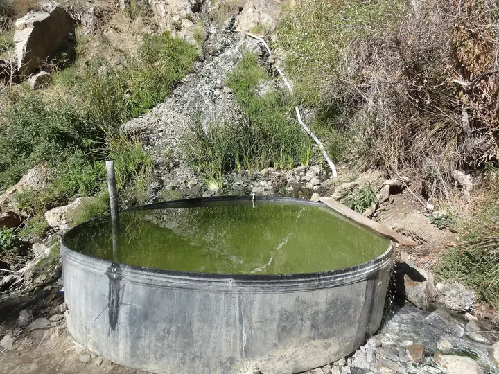
Willett Hot Springs
California, United States
32 mi away, ~50 min drive
100-103°F38-39°C Paid Long hike
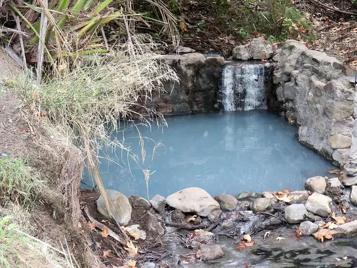
Near Ojai
Wild & natural
All hot springs in CaliforniaAll hot springs in United StatesOpen the full map
Sources we checked (6)
- campflare.com/campground/middle-santa-ynez-163
- fs.usda.gov/r05/lospadres/alerts/special-closure-storm-damage-recovery-santa-barbara-ranger-district
- hikelospadres.com/little-caliente-spring.html
- hikelospadres.com/mono-campground.html
- californiabeaches.com/attraction/little-caliente-hot-springs/
- tophotsprings.com/big-and-little-caliente-hot-springs-california/