Sykes Hot Springs
Near Big Sur, California, United States
A small hot seep beside the Big Sur River in the Ventana Wilderness, about 10 miles in on the Pine Ridge Trail. The old pools are gone, overuse is a long-running problem, and the trail is closed after the 2026 Timber Fire.
Temporarily closed. The Pine Ridge Trail to Sykes is closed after the August 2026 Timber Fire. Los Padres National Forest closure order 05-07-51-26-11 runs from September 26, 2026 to January 31, 2027 unless lifted earlier, and State Parks kept the Pine Ridge Trail closed when Pfeiffer Big Sur reopened on October 16, 2026.
Photo: Andy Mai veroz (CC0). Resized and cropped for this page.

- Water temperature
- Not published
- Entry
- Free
- Getting in
- Long hike
- Type
- Wild & natural
- Closed in October 2026. The Pine Ridge Trail is shut under a Los Padres National Forest order that runs to January 31, 2027 unless lifted earlier.
- It is about 10 miles each way from the trailhead, a full day of hiking with climbs and river crossings.
- The rock and concrete tubs were wrecked by storms in the 2017-18 winter, and the Forest Service says it will not allow them back.
- Sykes Camp has seven sites and a single pit toilet, and has seen 200 or more campers on busy weekends.
Current status: closed
Do not plan a hike to Sykes right now. The Timber Fire started on August 8, 2026 in the Big Sur backcountry and spread through the Ventana Wilderness and the Big Sur River drainage, burning parts of the Pine Ridge Trail. By mid-October it had burned about 25,350 acres and was 97 percent contained, with crews working on suppression repair.
The fire is mostly out, but the trail is not open. Los Padres National Forest issued Monterey Ranger District Emergency Closure Order 05-07-51-26-11, which took effect on September 26, 2026 and runs through January 31, 2027, unless the Forest Service lifts or changes it earlier. The order lists the Pine Ridge Trail among the closed trails. When Pfeiffer Big Sur State Park reopened on October 16, 2026, State Parks kept its section of the Pine Ridge Trail closed as well.
This is not the first long shutdown. The trail closed after the 2016 Soberanes Fire and the storms of the following winters, and it did not reopen as far as Sykes until 2021. Earlier in 2026, in April, entry from Big Sur Station was briefly blocked while the Monterey County Sheriff investigated a death near the springs.
Burned trails often stay closed after the order ends, because of fallen trees, loose slopes and erosion once winter rain arrives. Before you go, call the Monterey Ranger District in King City at (831) 385-5434 or check the Los Padres National Forest alerts page and the Ventana Wilderness Alliance.
What to expect
Sykes is not a developed hot spring, and it has not been a good one for years. The hot water seeps out of the bank along the Big Sur River, about a quarter mile downstream from where the Pine Ridge Trail drops to the river at Sykes Camp. For decades, visitors piled rocks and poured concrete to make three small tubs there. The largest was about 8 feet across and 2 feet deep, enough for four adults, and the water was around 100°F38°C, cooler after rain.
Those tubs are gone. Storms in the 2017-18 winter destroyed them, and the Forest Service, which always regarded them as illegal, said in 2020 that they would not be allowed back. People have scraped out small soaking holes since then, but expect a warm seep at the river’s edge, not a pool, and do not expect anything you find to still be there next time.
What remains is a remote camp on a clear river in a deep, wooded canyon. Sykes Camp has seven designated sites, fire rings and a single pit toilet that was designed for about 20 visitors. It has often had far more than that. Counts of over 200 campers have been recorded on holiday weekends, and the area has had serious problems with trash, abandoned gear and human waste.
Getting there
The hike starts at the Pine Ridge Trailhead at Big Sur Station, on Highway 1 just south of the entrance to Pfeiffer Big Sur State Park. Big Sur Station is a multi-agency visitor center shared by the Forest Service and State Parks.
When the trail is open, it is about 10 miles one way to Sykes Camp. The first 4 miles climb steadily from around 300 feet to about 1,575 feet, with views over the Big Sur River canyon. After that the trail rolls through the wilderness, past Terrace Creek and Barlow Flat camps, before dropping to the river at Sykes at about 1,080 feet. Most hikers take 6 to 7 hours each way. Very few people do it as a day hike.
Parts of the trail have been rerouted after landslides and storms, and conditions range from clear to badly overgrown. After the 2026 fire, expect changes again. Carry a current map.
When to go
Once the trail reopens, spring and fall are usually the best times. Summer can be hot on the exposed climb, and summer weekends are when the camp overflows. Winter and early spring bring rain, mud and fallen trees, and high water can make river crossings near the camp dangerous or impossible. Midweek trips in late spring or early fall have historically been the quietest.
Rules and etiquette
- Respect closures. Entering a closed national forest area can lead to a fine of up to $5,000, six months in jail, or both.
- Do not build tubs. The Forest Service removes rock and concrete structures at the springs.
- Camp in the designated sites. There are seven, with no reservations and no fee.
- Fires: You need a California Campfire Permit for a stove. In 2026 Los Padres National Forest banned campfires at backcountry camps through January 31, 2027. Check current fire restrictions every time.
- Water: Treat all river water before drinking.
- Pack it out. There is no garbage service. Bury waste well away from the river and the spring, or use the pit toilet.
- No soap in the river or the spring.
Where to stay nearby
- Sykes Camp is the only place to sleep at the springs, once the trail reopens.
- Pfeiffer Big Sur State Park, next to the trailhead, has a large campground and the Big Sur Lodge. Both reopened on October 16, 2026, after the fire closure.
- Big Sur village along Highway 1 has inns, cabins and private campgrounds. Carmel and Monterey, farther north on Highway 1, have a wide choice of hotels.
Safety notes
- Fire damage: Burned areas bring falling trees, rockfall and debris flows after rain, often for several years.
- Distance and heat: This is a 20-mile round trip with real climbing. Carry plenty of water and start early.
- River crossings: High water after storms can make the river too dangerous to cross.
- Poison oak and ticks: Both are common along the Pine Ridge Trail. Wear long pants and check for ticks.
- No signal: There is no cell service for most of the hike. Leave your plans with someone.
- Water quality: Shallow, crowded soaking holes are a poor place to put your face under. Keep your head above water.
Map and nearby springs
GPS: 36.24922, -121.68718
Sykes Hot Springs: common questions
Is Sykes Hot Springs open right now?
No. As of October 2026 the Pine Ridge Trail is closed after the Timber Fire, which started on August 8, 2026 and burned parts of the trail corridor. A Los Padres National Forest emergency closure order (05-07-51-26-11) is in effect from September 26, 2026 through January 31, 2027 unless rescinded earlier. Entering a closed area can bring a fine. Check with the Monterey Ranger District before planning a trip.
How long is the hike to Sykes Hot Springs?
About 10 miles one way on the Pine Ridge Trail from the trailhead at Big Sur Station, next to Pfeiffer Big Sur State Park. The first 4 miles climb from around 300 feet to about 1,575 feet, and the trail then drops to the camp at about 1,080 feet. Most hikers take 6 to 7 hours each way, and almost everyone camps overnight.
Are there still pools at Sykes Hot Springs?
The old pools are gone. Before 2017 there were three small rock and concrete tubs about a quarter mile downstream from where the trail meets the river, the biggest about 8 feet across. Storms in the 2017-18 winter destroyed them, and in 2020 the Forest Service said the tubs would not be allowed back. Any tub that people rebuild can be removed.
How hot is Sykes Hot Springs?
Before the pools washed out, the water was about 100°F38°C, dropping after rain when river water mixed in. No current measurement has been published since the tubs were destroyed.
Do you need a permit to camp at Sykes?
There is no fee to camp, and the seven sites are first come, first served. You need a California Campfire Permit for a stove, and campfire rules change with fire season. In 2026 an order banned campfires at backcountry camps across Los Padres National Forest through January 31, 2027.
Closest hot springs to Sykes Hot Springs
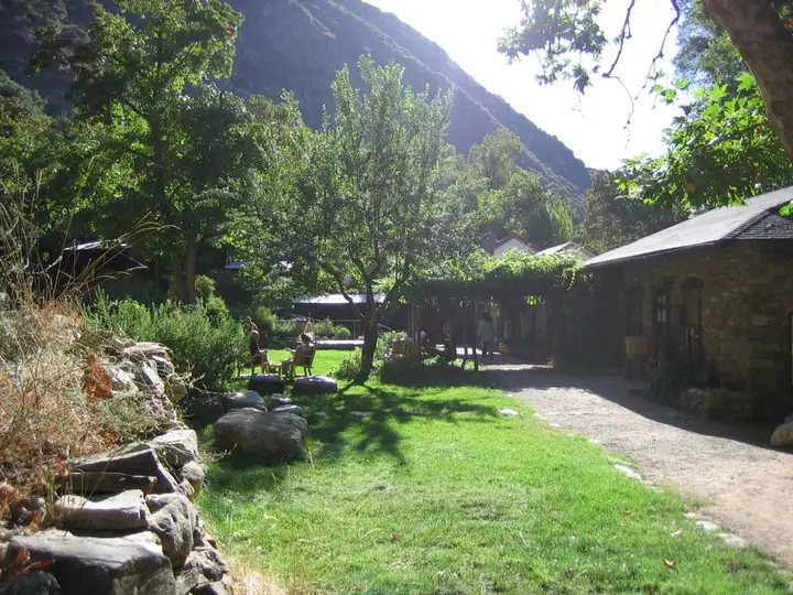
Tassajara Zen Mountain Center (Tassajara Hot Springs)
California, United States
8 mi away, ~10 min drive
Temp n/a Paid 4WD road
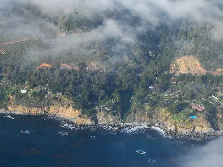
Esalen Institute Hot Springs
California, United States
9 mi away, ~15 min drive
Temp n/a Paid Short walk
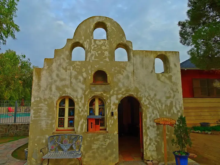
98-100°F37-38°C
Resort or spa
Near Avila Beach
Resort or spa
Sycamore Mineral Springs Resort & Spa
California, United States
92 mi away, ~2.5 hr drive
Temp n/a Paid Drive-up
104°F40°C
Resort or spa
All hot springs in CaliforniaAll hot springs in United StatesOpen the full map