Mist Mountain Hot Springs
Alberta, Canada
Two tiny, lukewarm seeps on a treeless alpine slope below Mist Mountain in Kananaskis Country, reached by a steep, unsigned 6.5 km return hike from Highway 40. More of a view than a soak.
- Water temperature
- 84°F29°C
- Entry
- Paid
- Getting in
- Hike in
- Type
- Wild & natural
- Two small pools on an open slope: one fits about two people, the other about four.
- The water is lukewarm rather than hot. One hiking guide estimates it at about 84°F29°C.
- The first 2.5 km climbs roughly 450 m to a saddle between Mist Mountain and Eagle Ridge.
- Reached only from Highway 40 south of Highwood Pass, which is gated to vehicles from Dec 1 to mid-June.
What to expect
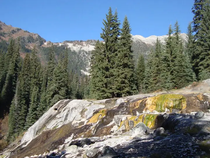
Mist Mountain Hot Springs is not a hot spring in the usual sense. It is two very small, shallow pools where warm water seeps out of an open, treeless slope high on the side of Mist Mountain in the Highwood area of Kananaskis Country. One pool fits about two people and the other about four, and that is on a good day with friends.
The water is lukewarm. The Banff Blog estimates it at about 84°F29°C, and Explore Kananaskis compares it to an Okanagan lake in August. Nobody has published a measured temperature, so treat both as rough guides. On a cool alpine afternoon it feels pleasant for a few minutes, not the long hot soak you get at Miette or Banff.
What people actually come for is the setting. The pools sit at the far end of a broad, curving bowl below the summit, with big views across the Highwood valley and the Misty Range. There are no trees, rocks or shelters to change behind, and no facilities of any kind. Wear a swimsuit under your hiking clothes.
Because the pools are so small, they draw lines on busy summer weekends. If you see a few people standing around near the end of the traverse, you have found them.
Getting there
The trailhead is on the east side of Highway 40 (Kananaskis Trail), about 15 km (9 miles) south of Highwood Pass. Explore Kananaskis puts it at roughly an hour and a half from Calgary.
- From Calgary: Take Highway 1 west to the Highway 40 junction, then drive south through Kananaskis Country and Peter Lougheed Provincial Park, over Highwood Pass (2,206 m) and down the far side.
- From the south: Highway 40 also links to Highwood Junction and Longview, so you can approach from the Highway 22 side. The trailhead is inside the seasonal closure, so this only works between mid-June and November.
There is no trailhead sign. Park at a wide shoulder pull-off on the highway, then walk about 200 m to where the trail starts. A downloaded GPX track or a hiking app makes this much easier, because the route is unmarked from start to finish.
The hike runs about 6.5 km (4 miles) return. Sources give between 450 and 600 m of elevation gain. The first hour is the hard part: a steep climb of about 450 m in 2.5 km to the saddle between Mist Mountain and Eagle Ridge. From the saddle, the summit scramble keeps climbing. For the springs, take the easier scree path to the right, which arcs around the bowl in a wide crescent with little more climbing. The pools are at the far tip of that crescent. The last stretch is a narrow path with steep slopes above and below, so watch your footing.
If you also want the summit of Mist Mountain, it is another 3 km and about 700 m of climbing beyond the turnoff, and a full summit day runs 4 to 7 hours.
You need a Kananaskis Conservation Pass to park. It costs C$15 per vehicle per day or C$90 a year for up to three vehicles. It covers the vehicle, not each passenger, and you must buy it by 11:59 p.m. on the day you visit. There is no signal at the pull-off, so buy it at home.
When to go
Access depends on Highway 40. The section over Highwood Pass, between Peter Lougheed Provincial Park and Highwood House Junction, closes to vehicles every year on Dec 1 and stays shut until mid-June (Alberta Parks lists the closure as Dec 1 to June 14). The province closes it for heavy snow and to protect wildlife moving through the pass. This is routine, not an emergency closure.
Even after the gates open, snow can linger on the route. The Banff Blog says the trail is usually in good shape from July to September, and Explore Kananaskis suggests late July into October. Weekday mornings are the best bet for having a pool to yourself. Evenings are popular with photographers and sunset hikers.
Rules and etiquette
- Pass required. Display a valid Kananaskis Conservation Pass or register your plate online.
- Dogs on leash throughout Kananaskis Country.
- Keep it short when it is busy. With room for six people at most across both pools, a long soak means someone else waits.
- Swimsuits are the norm. The slope is open and visible from the trail, and the sources recommend wearing a suit.
- Leave no trace. Do not dig, dam or move rocks to enlarge the pools. Pack out everything, including food scraps and toilet paper.
- No soap or sunscreen in the water. In pools this small, it lingers.
Where to stay nearby
There is nothing at the springs and no camping on the slope. Peter Lougheed Provincial Park, on the north side of Highwood Pass, has the largest group of campgrounds in the area, including Boulton Creek. Kananaskis Village, further north on Highway 40, has hotel rooms. Most people do this as a day trip from Calgary or Canmore. If you come from the south, Longview is the nearest small town for fuel and food.
Safety notes
- Bears: This is bear country. Alberta Parks reminds hikers in Kananaskis to travel in groups, make noise, keep dogs leashed and carry bear spray where they can reach it.
- Exposure: The final traverse is narrow with steep ground above and below. Turn back if the path is icy or snow-covered.
- Weather: The route is above the treeline with no shelter. Afternoon thunderstorms and sudden cold are common in the Rockies. Bring a warm layer even in August, because you will be wet and on an exposed slope after the soak.
- Navigation: The route is unmarked. Carry a GPX track, a charged phone and a backup, and know where the springs path splits from the summit scramble.
- Water: Do not drink the spring water or put your head under. Warm, untreated pools can carry bacteria and amoebas.
- Check conditions: Look at 511 Alberta for Highway 40 status and the Alberta Parks Kananaskis trail reports before you set out.
Map and nearby springs
GPS: 50.54702, -114.89162
Mist Mountain Hot Springs: common questions
How long is the hike to Mist Mountain Hot Springs?
About 6.5 km (4 miles) return with around 450 to 600 m of elevation gain, depending on the source. Most of the climbing is in the first 2.5 km up to the saddle between Mist Mountain and Eagle Ridge. After that the path traverses a scree slope to the springs.
Are the Mist Mountain hot springs actually hot?
No. They are warm at best. One guide puts the water at roughly 84°F29°C and another compares it to a lake in August. Come for the mountain setting and treat the soak as a bonus.
When can you hike to Mist Mountain Hot Springs?
Only when Highway 40 over Highwood Pass is open, which is from mid-June to the end of November. The road is closed to vehicles from Dec 1 to mid-June for snow and wildlife. Snow lingers on the slope into early summer, so mid-July to September is the reliable window.
Do you need a pass to hike Mist Mountain?
Yes, if you park. Vehicles parked at provincial park and public land sites in Kananaskis Country need a Kananaskis Conservation Pass, C$15 per vehicle per day or C$90 a year. Buy it online before you lose signal, by 11:59 p.m. on the day of your visit.
Is there a marked trail to Mist Mountain Hot Springs?
No. There is no trailhead sign and the path is not marked. Park at the wide shoulder pull-off on Highway 40 and walk about 200 m to where the trail leaves the road. A GPX track or an app such as AllTrails helps, especially at the point where the springs route splits from the summit scramble.
Closest hot springs to Mist Mountain Hot Springs
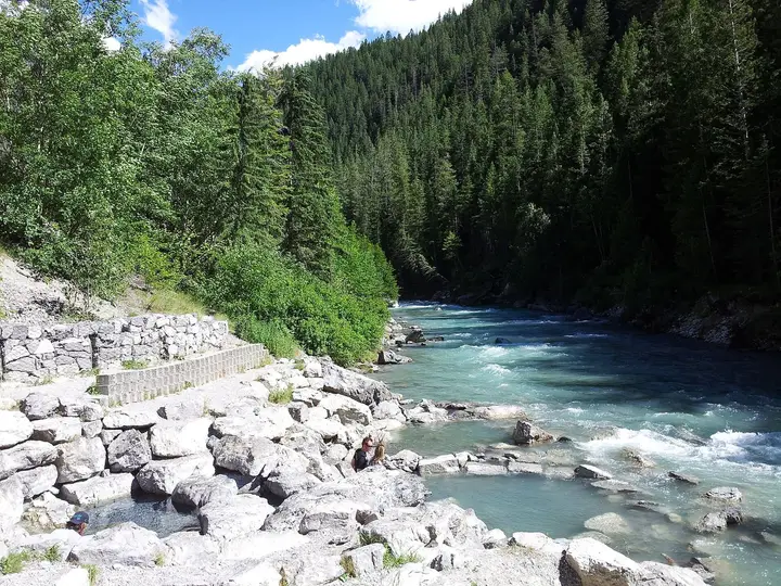
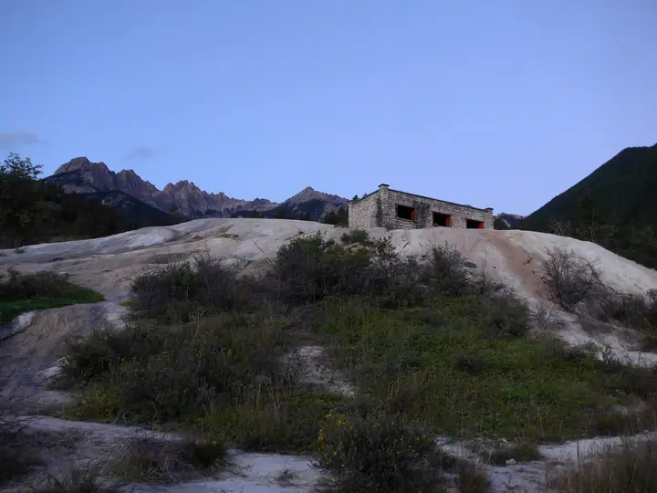
Fairmont Hot Springs Resort
British Columbia, Canada
44 mi away, ~1 hr drive
86-102°F30-39°C Paid Drive-up
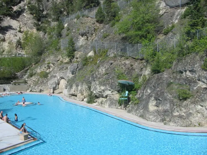
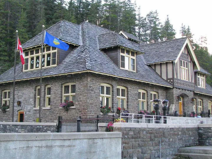
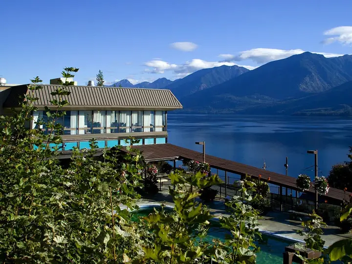
Ainsworth Hot Springs Resort
British Columbia, Canada
106 mi away, ~2.5 hr drive
97-110°F36-43°C Paid Drive-up
Sources we checked (6)
- explorekananaskis.com/mist-mountain-natural-hot-springs-hike
- thebanffblog.com/mist-mountain-hot-springs/
- alberta.ca/kananaskis-conservation-pass
- en.wikipedia.org/wiki/Highwood_Pass
- rmoutlook.com/kananaskis-country/highwood-pass-annual-road-closures-take-effect-in-k-country-6187368
- albertaparks.ca/parks/kananaskis/peter-lougheed-pp/information-facilities/trail-report